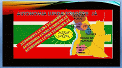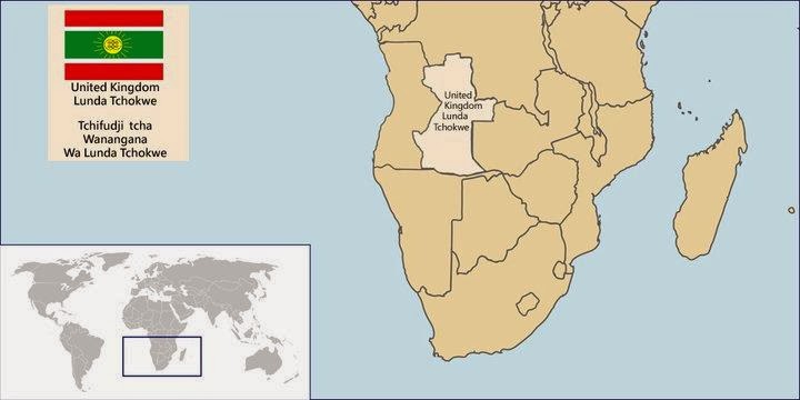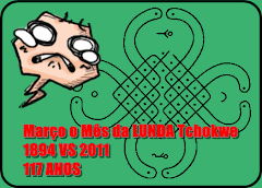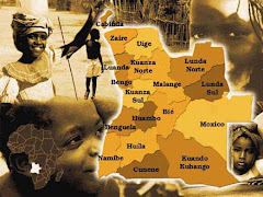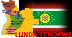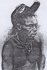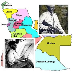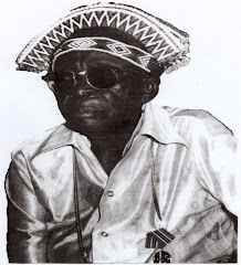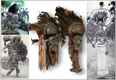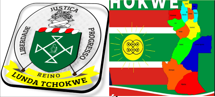

The Lunda Tchokwe Territory borders where defined with the Treaty of the 25 of May 1891, rectified on the 24 of March 1894 and confirmed with the exchange of signatures on the 1 August 1894. The United Kingdom of Lunda Tchokwe is located in the Austro Equatorial Africa.
The United Kingdom of Lunda Tchokwe is proximate in size as Spain the Kingdom of Lunda Tchokwe has an area of 501,922 km2 compared to Spain that has an Area of 505,992 km2.
The Population of the United Kingdom of Lunda Tchokwe is 4,5 Million Citizens